Cookie Notice

For an optimal website experience, we retrieve usage information with the help of cookies, which we, TravelTrex GmbH, then share with our partners. Usage profiles are created based on your activities using end device and browser information. These usage profiles are used for statistical analysis, individual product recommendations, individualised advertising and reach measurement. We require your consent for this (revocable at any time), which also includes the transfer of certain personal data to third-party providers in third countries outside the European Economic Area, such as Google or Microsoft in the USA.

By clicking on , you accept the use of cookies not required for website function and similar technologies. If you click , we will only use services that are technically necessary and required to fulfil the contract.

Further information concerning the cookie usage and the option to change your settings can be found in our Cookie-Policy.

Information concerning the people responsible can be found in our Legal Notice. Information concerning processing purposes and your rights can be found in our Data Protection Policy.

Customer review

Apartment Dorfblick

NEW!

No reviews available yet.

Cross-country Oberau

Information on cross-country skiing

10 km Cross-country trails (in km):

Cross-country fans' hearts will beat faster on 40 km of excellently prepared trails. You can explore the sunny Niederau and Oberau valley, as well as the Mühltal and Auffach valleys in a gorgeous setting.

The trail is never far from a traditional tavern, which is a definite plus. Difficulty levels range from easy to intermediate and the longest stretch is the 20 km from Penning to Roggenboden. Especially lovely is the 6 km long, intermediate high-altitude Schönanger trail at 1,190 m.

In Oberau, cross-country skiers can look forward to 10 km of trails, including a 6 km long trail to Niederau and a 2 km long trail in the valley which is also perfectly suited for beginners.
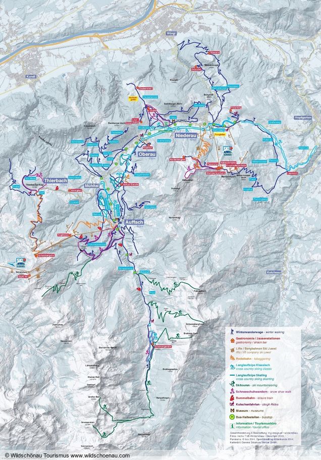
Cross-country map Oberau
To enlarge please click onto the trail map

Book safe with SnowTrex advantages

StickyNewsletter